It works
Uncategorized
1
Posts
1
Posters
7
Views
-
It works!
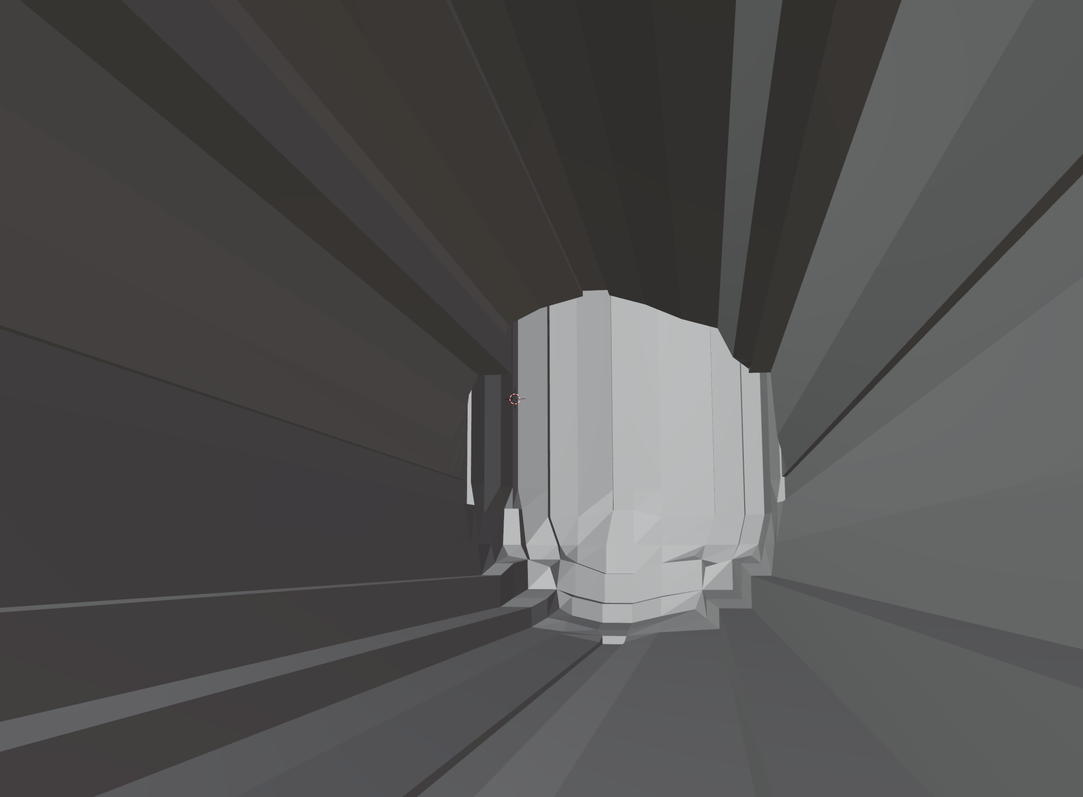
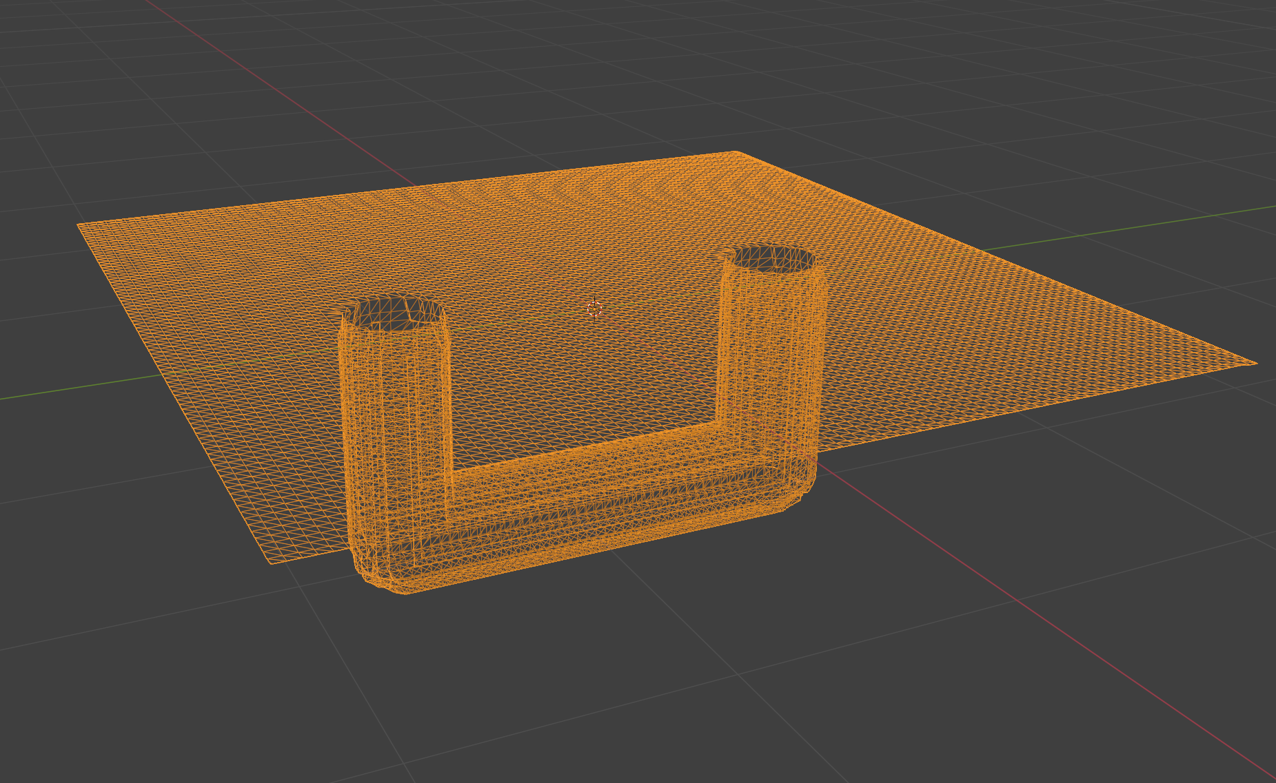
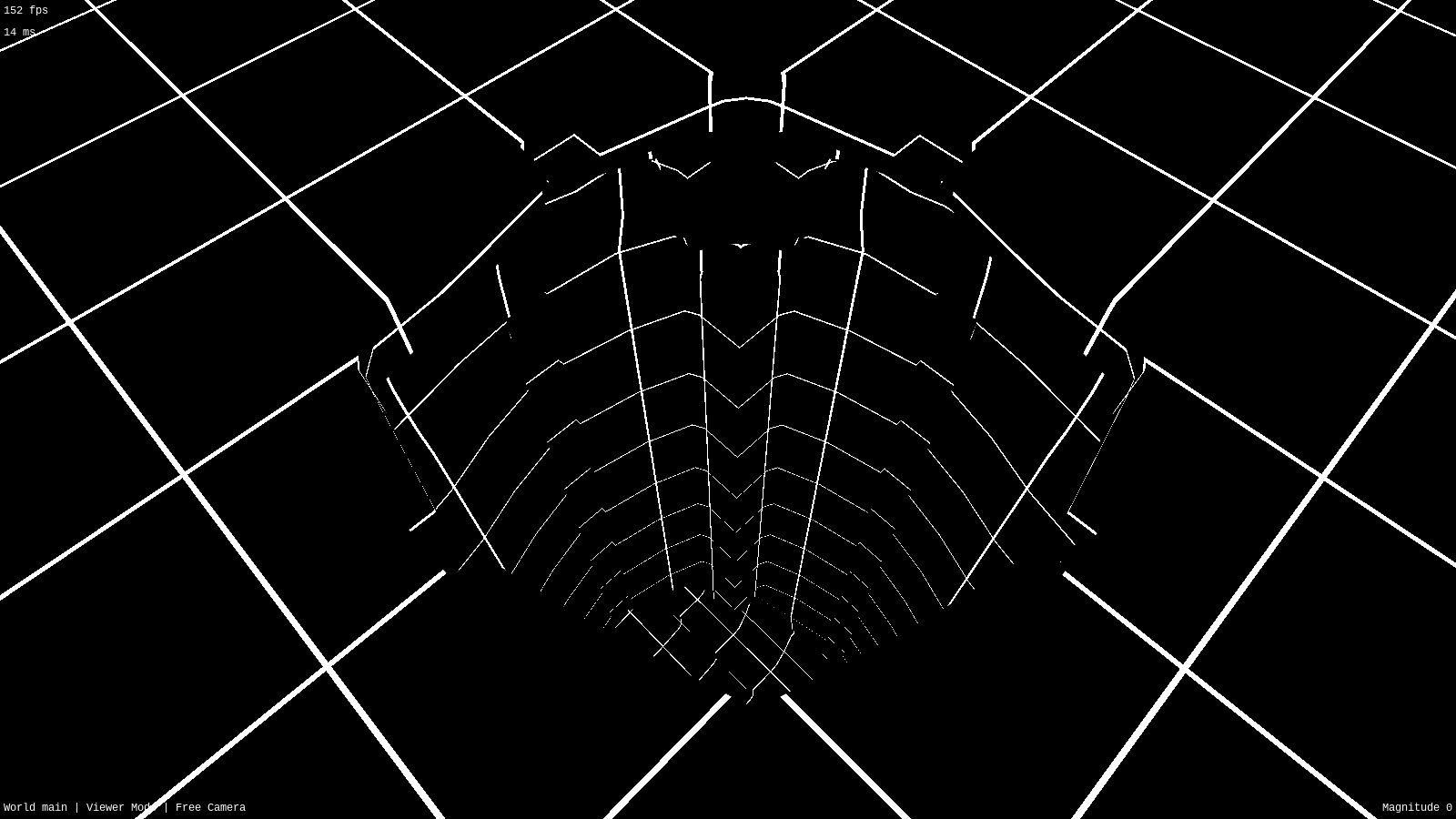
This is user-supplied control points converted to an SDF then the SDF converted to a mesh, allowing you to define terrain that mixes a heightmap with floating additive features and subterranean subtractive featuresStill blocky for now and there are issues with features on the heightmap being erased but it's a relief to know the approach is sound
#gamedev #indiedev #opensource #freesoftware #vr #virtualreality
-
 undefined aeva@mastodon.gamedev.place shared this topic on
 undefined oblomov@sociale.network shared this topic on
Feed RSS
Gli ultimi otto messaggi ricevuti dalla Federazione
-
@meduz nope, I'm still working on building a gaming pc, but so far I've only bought RAM 🥲
-
Humor Satire Memes (@funnysnarkyjoke.bsky.social)
https://bsky.app/profile/funnysnarkyjoke.bsky.social/post/3mgnbn53gek2b
> Artist: Jake Likes Onions
-
fede (@hymage.bsky.social)
https://bsky.app/profile/hymage.bsky.social/post/3mgnl5p2fhk2o
> Hard times ahead
-
Nina (@nina-75.bsky.social)
https://bsky.app/profile/nina-75.bsky.social/post/3mgmhtpvisk2i
-
Uberbored (@uberbored.bsky.social)
https://bsky.app/profile/uberbored.bsky.social/post/3mgndxhwlrk2u
> Al cuore non si comanda, al cazzo figuriamoci
-
@Gina Wait, you don’t have a Switch 2 yet?

-
@Gina you are being a very bad influence and I'm going to send you the bill!
-
@mariosiniscalchi Referendum, Bartolozzi verità: «Votiamo Sì e ci togliamo di mezzo la magistratura, è un plotone d'esecuzione».