Alarm bei OpenStreetMap!
Uncategorized
25
Posts
16
Posters
62
Views
-
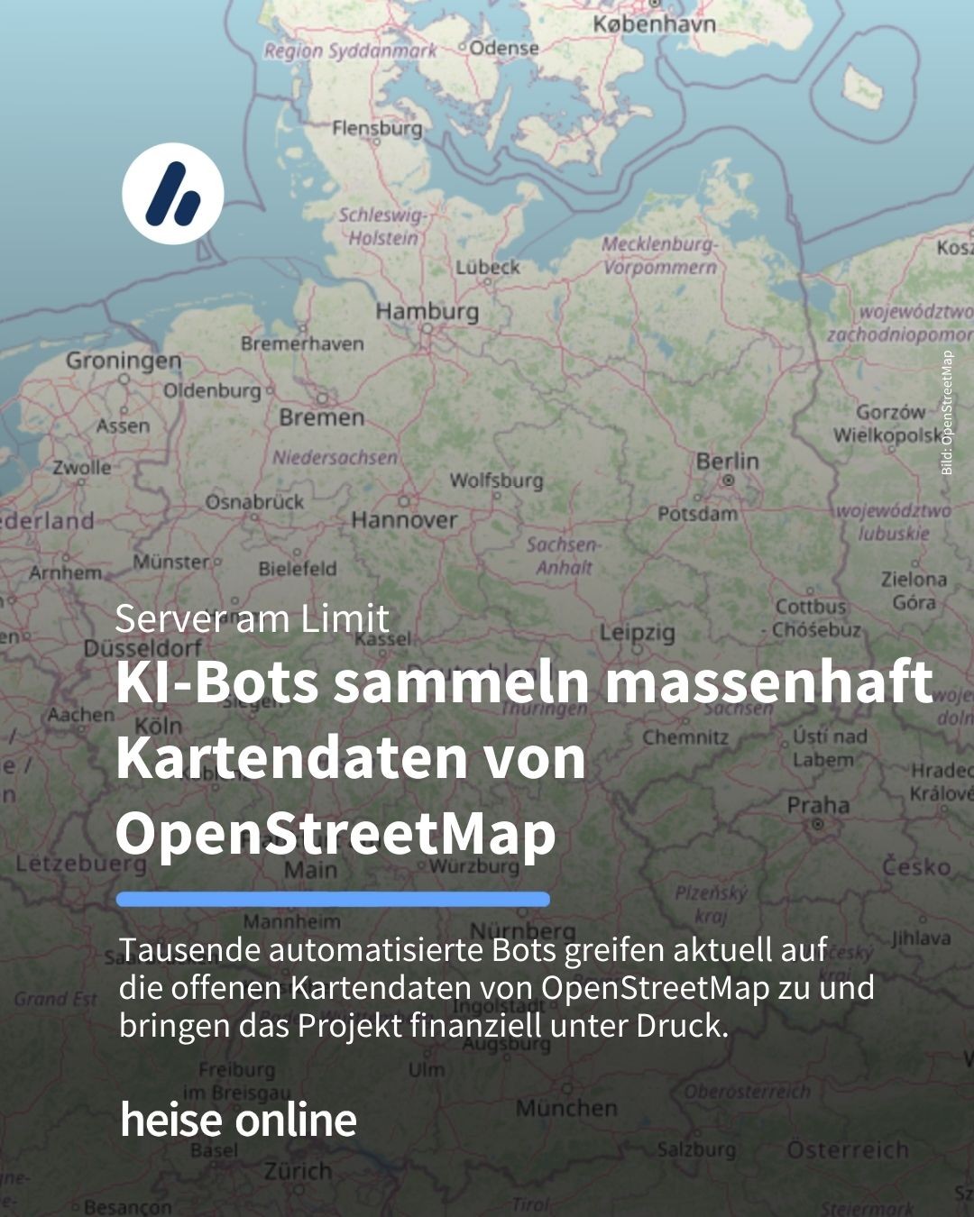
Alarm bei OpenStreetMap! 🚨 Das freie Kartenprojekt steht vor einer ernsten Herausforderung: Tausende KI-Bots greifen aktuell massenhaft Daten ab und bringen damit das gesamte Projekt in Gefahr.
Zum Artikel: https://heise.de/-11156876?wt_mc=sm.red.ho.mastodon.mastodon.md_beitraege.md_beitraege&utm_source=mastodon
#OpenStreetMap #KünstlicheIntelligenz #Datenschutz #DigitaleInfrastruktur #FreiesSoftwareprojekt
Problem war über Monate auch bei unserem klassischen Forum der Fall. Konsequenz war: wir mussten die öffentlichen Bereiche privat schalten. Großer Mist.
-
Alarm bei OpenStreetMap! 🚨 Das freie Kartenprojekt steht vor einer ernsten Herausforderung: Tausende KI-Bots greifen aktuell massenhaft Daten ab und bringen damit das gesamte Projekt in Gefahr.
Zum Artikel: https://heise.de/-11156876?wt_mc=sm.red.ho.mastodon.mastodon.md_beitraege.md_beitraege&utm_source=mastodon
#OpenStreetMap #KünstlicheIntelligenz #Datenschutz #DigitaleInfrastruktur #FreiesSoftwareprojekt
@heiseonline@social.heise.de Man sollte mal in Erwägung ziehen, Anubis vorzuschalten, viele Seiten die ich kenne setzen mittlerweile darauf.
-
Alarm bei OpenStreetMap! 🚨 Das freie Kartenprojekt steht vor einer ernsten Herausforderung: Tausende KI-Bots greifen aktuell massenhaft Daten ab und bringen damit das gesamte Projekt in Gefahr.
Zum Artikel: https://heise.de/-11156876?wt_mc=sm.red.ho.mastodon.mastodon.md_beitraege.md_beitraege&utm_source=mastodon
#OpenStreetMap #KünstlicheIntelligenz #Datenschutz #DigitaleInfrastruktur #FreiesSoftwareprojekt
@heiseonline was für ein Megabullshit. Im Kartenbereich bereichert sich mittlerweile jede Firma bei OpenStreetMap und viele von denen verkaufen ihre Mapanwendungen anschließend zu hohen monatlichen Abos / Clickcounts. Möchte wissen, wer von denen einen Teil der Einnahmen an das Projekt zurück gibt.
-
@heiseonline Wenn KI-Bots vor allem viele, viele Daten möchten, kann man ihnen ja genau das geben: https://www.heise.de/forum/heise-online/Kommentare/OpenStreetMap-sorgt-sich-Tausende-KI-Bots-erfassen-Daten/Aktuelle-Methoden-KI-Crawler-auszusperren/posting-45948697/show/
Das würde ja bedeuten, man würde sich #verteidigen. Wo kommen wir denn da hin, wenn sich #Zivilisten gegen #Räuber verteidigen? Die haben sich gefälligst widerstandslos alles gefallen zu lassen und still zu halten.
-
Problem war über Monate auch bei unserem klassischen Forum der Fall. Konsequenz war: wir mussten die öffentlichen Bereiche privat schalten. Großer Mist.
-
-
@heiseonline was für ein Megabullshit. Im Kartenbereich bereichert sich mittlerweile jede Firma bei OpenStreetMap und viele von denen verkaufen ihre Mapanwendungen anschließend zu hohen monatlichen Abos / Clickcounts. Möchte wissen, wer von denen einen Teil der Einnahmen an das Projekt zurück gibt.
@jay_aitsch @heiseonline Das kannst du tatsächlich einfach nachgucken: https://osmfoundation.org/wiki/Corporate_Members
-
@jay_aitsch @heiseonline Das kannst du tatsächlich einfach nachgucken: https://osmfoundation.org/wiki/Corporate_Members
@fabio @heiseonline Danke für den Link.
Aber sehen wieviel es im einzelnen ist kann ich trotzdem nicht und 30.000 € für Platinum Partner sind für Firmen wie Microsoft, Meta etc. ja auch eher Peanuts. -
@fabio @heiseonline Danke für den Link.
Aber sehen wieviel es im einzelnen ist kann ich trotzdem nicht und 30.000 € für Platinum Partner sind für Firmen wie Microsoft, Meta etc. ja auch eher Peanuts.@jay_aitsch @heiseonline Ich fürchte wir können davon ausgehen dass die nicht viel mehr bezahlen als das.
-
Alarm bei OpenStreetMap! 🚨 Das freie Kartenprojekt steht vor einer ernsten Herausforderung: Tausende KI-Bots greifen aktuell massenhaft Daten ab und bringen damit das gesamte Projekt in Gefahr.
Zum Artikel: https://heise.de/-11156876?wt_mc=sm.red.ho.mastodon.mastodon.md_beitraege.md_beitraege&utm_source=mastodon
#OpenStreetMap #KünstlicheIntelligenz #Datenschutz #DigitaleInfrastruktur #FreiesSoftwareprojekt
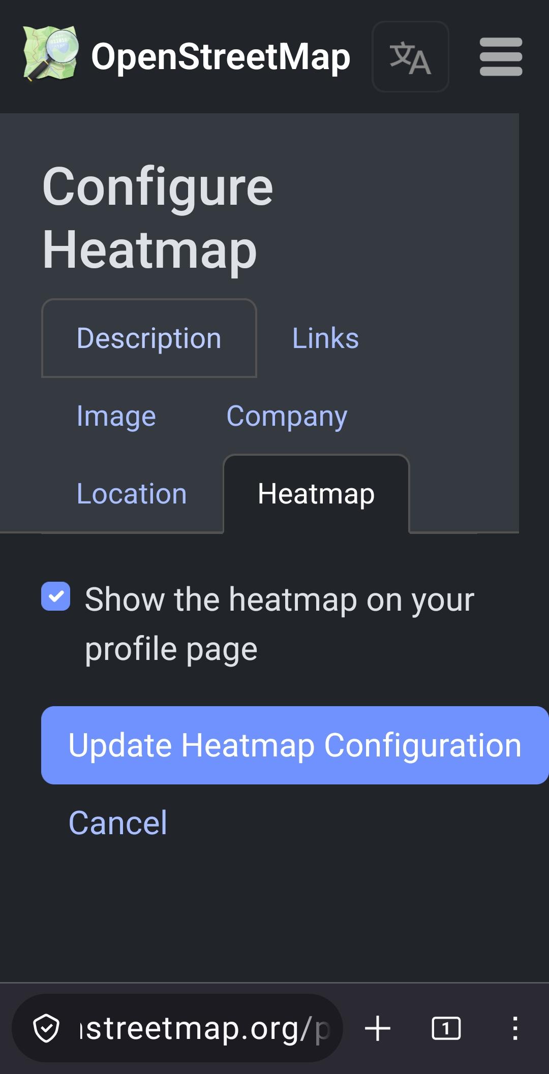
Hi, kurze Nachfrage: Meint ihr mit „OSM missbrauchen“ auch Projekte wie meines?
Ich nutze OSM/uMap nur als Basiskarte/Layout.
Die gemeldeten Inhalte (Heatmap-Reports) sind komplett eigene Daten und werden nicht in OSM zurückgeschrieben.Mir ist wichtig, OSM nicht zu belasten oder zu schaden.
Falls das Projekt größer wird, würde ich selbstverständlich auf eigene Tile-/Hosting-Lösungen umsteigen bzw. dafür bezahlen.Danke für jeden Hinweis!
-
@jay_aitsch @heiseonline Ich fürchte wir können davon ausgehen dass die nicht viel mehr bezahlen als das.
@fabio @jay_aitsch @heiseonline
never mind
-
Alarm bei OpenStreetMap! 🚨 Das freie Kartenprojekt steht vor einer ernsten Herausforderung: Tausende KI-Bots greifen aktuell massenhaft Daten ab und bringen damit das gesamte Projekt in Gefahr.
Zum Artikel: https://heise.de/-11156876?wt_mc=sm.red.ho.mastodon.mastodon.md_beitraege.md_beitraege&utm_source=mastodon
#OpenStreetMap #KünstlicheIntelligenz #Datenschutz #DigitaleInfrastruktur #FreiesSoftwareprojekt
@heiseonline kann man solche bots irgendwie sperren, Zugriff verweigern?
-
Alarm bei OpenStreetMap! 🚨 Das freie Kartenprojekt steht vor einer ernsten Herausforderung: Tausende KI-Bots greifen aktuell massenhaft Daten ab und bringen damit das gesamte Projekt in Gefahr.
Zum Artikel: https://heise.de/-11156876?wt_mc=sm.red.ho.mastodon.mastodon.md_beitraege.md_beitraege&utm_source=mastodon
#OpenStreetMap #KünstlicheIntelligenz #Datenschutz #DigitaleInfrastruktur #FreiesSoftwareprojekt
@heiseonline Kann man die nicht grundsätzlich aussperren??? 🤔
-
Hi, kurze Nachfrage: Meint ihr mit „OSM missbrauchen“ auch Projekte wie meines?
Ich nutze OSM/uMap nur als Basiskarte/Layout.
Die gemeldeten Inhalte (Heatmap-Reports) sind komplett eigene Daten und werden nicht in OSM zurückgeschrieben.Mir ist wichtig, OSM nicht zu belasten oder zu schaden.
Falls das Projekt größer wird, würde ich selbstverständlich auf eigene Tile-/Hosting-Lösungen umsteigen bzw. dafür bezahlen.Danke für jeden Hinweis!
@HeatmapofFascism @heiseonline
Das ist ja legitim - auch ich verwende die OpenStreetMap-Anwendung Leaflet für die interaktive Karte auf meiner Wiki.
Aber diese Crawler könnten einfach die Rohdaten der Karten runterladen - und stattdessen machen die das über die API.
-
@HeatmapofFascism @heiseonline
Das ist ja legitim - auch ich verwende die OpenStreetMap-Anwendung Leaflet für die interaktive Karte auf meiner Wiki.
Aber diese Crawler könnten einfach die Rohdaten der Karten runterladen - und stattdessen machen die das über die API.
-
@HeatmapofFascism @heiseonline
Das ist ein allgemeines Problem - wie ich auch auf meiner Webseite feststelle, stellen Crawler inzwischen die Mehrheit des Internet-Traffics dar. Und die haben auch keine Hemmungen, dieselbe Webseite immer und immer wieder zu crawlen, obwohl das gar nicht nötig wäre.
-
@mardor @heiseonline Es is vor allem so unendlich lazy. Die sollen einfach täglich die diffs vom World file runter laden und selbst hosten, statt die public API voll zu spammen.
Einfach radikal rate-limiten.
@climbertobby @mardor @heiseonline
Das passiert, wenn man die Bots auch per Vipe Coding schreibt und nur im als Zielsetzung die Funktion auf seiner Seite in Betracht zieht. Hauptsache meine Seite (gewünschte Funktion) funktioniert reibungslos über alles andere mache ich mir keine Gedanken.
Ich mag echt den Ansatz Gzip Bombe.
https://www.phpbb.com/community/viewtopic.php?p=16081531&hilit=11G#p16081531
-
@HeatmapofFascism @heiseonline
Das ist ein allgemeines Problem - wie ich auch auf meiner Webseite feststelle, stellen Crawler inzwischen die Mehrheit des Internet-Traffics dar. Und die haben auch keine Hemmungen, dieselbe Webseite immer und immer wieder zu crawlen, obwohl das gar nicht nötig wäre.
ok also diese blutsauger AI-Bots
ja ich verstehe wo die reise hin geht grade...
traurig.
-
 undefined gina@fosstodon.org shared this topic on
Feed RSS
Gli ultimi otto messaggi ricevuti dalla Federazione
-
I fuori sede in piazza per chiedere di votare | LA NOTIZIA
https://www.lanotiziagiornale.it/i-fuori-sede-in-piazza-per-chiedere-di-votare/
> Doppio flash mob, a Roma e Milano, per chiedere l'approvazione della legge che permette ai fuori sede di votare.
-
A Symbolic Funeral Protest in DC Warns of Disintegrating HIV Programs
https://www.poz.com/article/symbolic-funeral-protest-dc-warns-disintegrating-hiv-programs
> Living obituaries and AIDS pallbearers at the Save HIV Funding Campaign’s protest ask, “Do we invest in life, or do we invest in death?”
-
@slyborg @babble_endanger just about
-
@molly0xfff @babble_endanger This was a huge L, Krishnamoorthi probably had as much funding as the rest of the field put together.
-
@mastodonmigration @timo21 @molly0xfff Progressives.
-
The primaries define the Democratic Party.
-
Mammoth Long Tongue
only 12¢ from Johnson Smith and Co (1951)
-
@noondlyt @molly0xfff “dumber”